Did You Know?
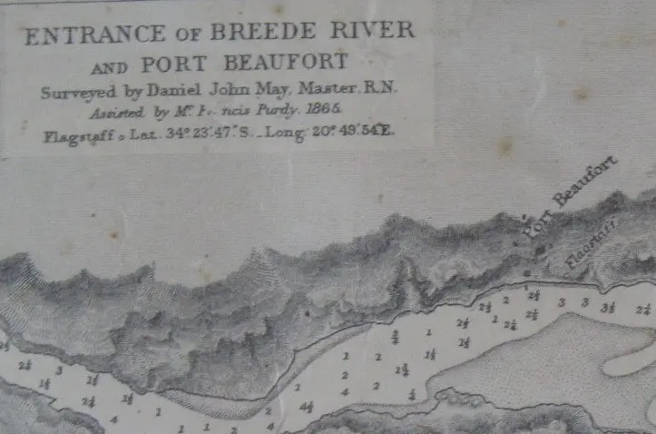
The Navigasie vlag (Navigation flag) site at Port Beaufort relates to the mid-19th century maritime signalling system used at the mouth of the Breede River. Port Beaufort, located on the southern Cape coast of what is now the Western Cape, was established as a harbour town in the early 1800s, primarily to serve the wool export trade from the interior. The Breede River was navigable for small sailing vessels up to the town, but the river mouth was notoriously treacherous due to shifting sandbars and strong currents, making safe entry dependent on visual signals from shore. The flag signal, dated to 1865 on the associated map, would have been used to communicate with incoming ships, likely indicating whether it was safe to cross the bar or to direct vessels to anchorage. The four iron pins that anchored the flagpole remain in place today, serving as a tangible remnant of this early navigational aid. The year 1840 often cited for Port Beaufort's harbour activity aligns with the peak of its use as a port before the railway reached the area in the later 19th century, after which river traffic declined. The site is a rare surviving example of a pre-electronic river-mouth signalling installation on the South African coast.
AI-assisted · may contain inaccuracies