Did You Know?
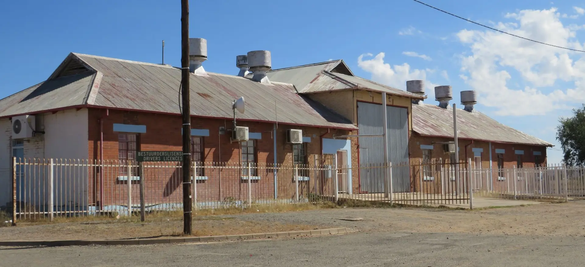
The Prieska railway station was established as part of the expansion of the Cape railway network into the arid interior of the Northern Cape. The line reached Prieska in 1905, connecting the town to the main Cape system via De Aar and Hopetown. This development was significant for the region, as it facilitated the transport of wool, livestock, and agricultural produce from the surrounding district, and also served as a strategic link for further railway extensions towards the north-west, including the later line to Upington. The original station building, constructed around 1905, reflects the typical utilitarian architecture of early 20th-century Cape railway structures, often featuring corrugated iron roofs and simple brick or stone walls adapted to the harsh semi-desert climate. Over time, as road transport gained prominence, the railway's role diminished, and the station building ceased its original function. The structure was subsequently repurposed and is now used by the provincial traffic department, a common adaptive reuse of historic railway infrastructure in smaller South African towns. Prieska itself, located on the northern bank of the Orange River, was a key river crossing point and trading centre long before the railway arrived. The town's name is derived from a Korana (Khoikhoi) word meaning 'place of the lost she-goat'. The arrival of the railway in 1905 boosted the local economy and linked the town more firmly to the wider Cape Colony, though the station's current use as a traffic department office reflects the broader decline of branch-line rail services in South Africa during the late 20th century.
AI-assisted · may contain inaccuracies